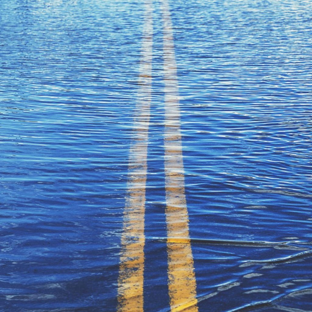
Land under water - Why is there currently so much precipitation?

Northwest Europe is under water. Overall, we can't complain about a lack of precipitation this winter - the water levels are rising unusually high. But why is that?
Nothing else was to be expected from El Niño
This year, it is playing a major role in shaping the weather. Due to its warming effect in combination with rising temperatures in the atmosphere and oceans, it is intensively fueling the extreme weather conditions that reach Europe through Atlantic westerly currents.
Jetstream serves as a concord for the transportation of low-pressure weather conditions
The rain zones over Central Europe come first class with the jet. It is unusually strong this year as particularly warm subtropical air meets polar air over the Atlantic. The large temperature differences are the turbo boost for the jet stream.
Melting snow does its part
In addition, the snow in the low mountain ranges is melting, which is exacerbating the flood situation.
Supersaturated soils can no longer absorb anything
The soil actually serves as a buffer - the situation cannot become critical so quickly as the soil absorbs the water. However, if it is as saturated as it is at the moment, this safety level no longer exists and the situation can escalate even with small amounts of precipitation.
Extreme temperature differences between north and south
It is also the jet stream that causes the temperature gap between northern and southern Europe to widen.
It can happen that the afternoon temperatures in the north of Scandinavia, like last Wednesday, can be as low as minus 30 degrees in the lowlands, and even minus 37 degrees in the northern Swedish town of Vidsel, while up to 24 degrees plus are measured on the Spanish Mediterranean coast. The thermal contrast in this case is 61 degrees!
That is truly extraordinary.


